Calhoun County, Iowa Land Records
Calhoun County, Iowa Land Records
Calhoun County, Iowa Land Records
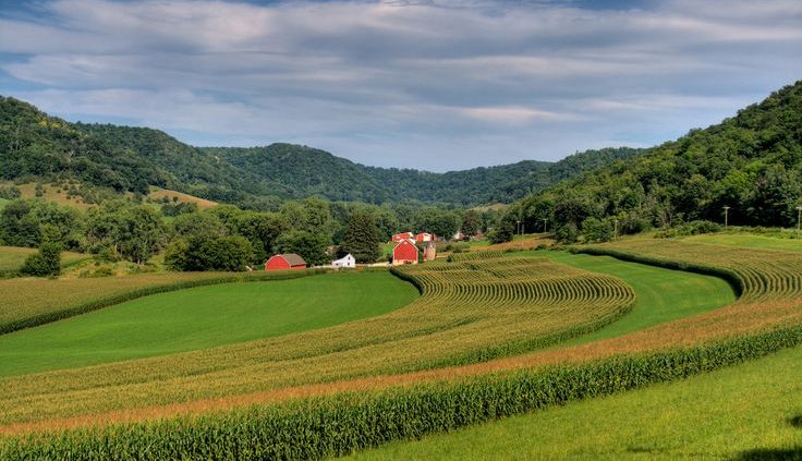
Calhoun County, Iowa is located in West Central Iowa covering 570 square miles. 358,205 acres are used for farmland in Calhoun County creating 826 farms. An average farm is 434 acres in Calhoun County. Farmland is selling around $9,000 per farmland acre at average. In a recent sale of 80 acres within the county the acre value reached $9,900 per acre totaling to $792,000. The average cost to rent farmland is $300 per acre. Improved pasture land can be rented for $86 per acre region 4 average, unimproved $60 per acre region 4 average, stalk grazing $10 per acre region 4 average.
CSR Calhoun County, Iowa Land Records
Average CSR in Calhoun County, Iowa is 77.4 weighted average, 79 cropland average, 88 CSR2 cropland average. The average price per CSR point is $105.5 you can rent a CSR point for $2.65 per CSR2. In 2012 the government paid out $10,816 per farm in Calhoun County totaling to $7,928,000. That price was cut from the 2007 pay out of $8,348,000.
History Calhoun County, Iowa Land Records
Calhoun County, Iowa was formed on January 15,1851 and named Fox County. The county was renamed in 1853 after the 7th United States President secessionist John C. Calhoun. When the tracks of the Illinois Central Railroad were laid through the county in 1870 the county seat moves from Lake City to Rockwell City. The first train to reach Rockwell City was on August 7th, 1882. The population doubled in the same year.


