
Carroll County, Iowa Land Records
Carroll County, Iowa Land Records
Carroll County, Iowa Land Records
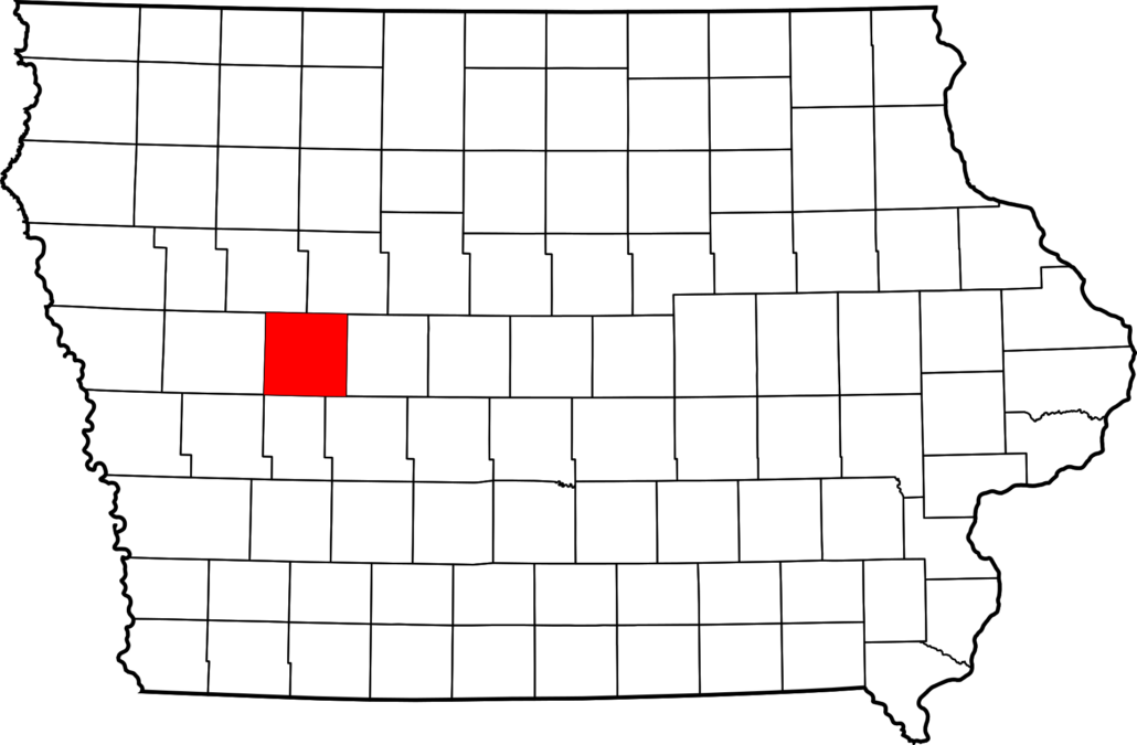
Carroll County, Iowa is located in West Central Iowa covering 569 square miles. There is a total of 352,698 farmland acres according to Carroll County, Iowa Land Records. To be exact 323,889 acres are used for cropland, 2,450 woodland acres, and 26,359 acres used for other agricultural purposes such as livestock pasture. The number of farms in Carroll County comes to a total of 1,065 farms, the average size of the farms are 337 acres per farm. To buy farmland in Carroll County today you are looking to spend an average of $8,000 per acre. Renting farmland will cost around $300 per acre on average.
CSR Carroll County, Iowa Land Records
Carroll County Iowa has a CSR (corn suitability rate) of 68 weighted average, 72 cropland average, and 82 CSR2 cropland average. The average price per CSR point is around $110. To rent a CSR point will cost an average of $4 per CSR2. In 2012 the government paid a total of $8,377,000 to Carroll County farms. Each farm received an average of $9,674.
History on Carroll County, Iowa Land Records
Carroll County was formed on January 15th, 1851. The county was formed from sections of Pottawattamie County and named after Charles Carrol of Carrollton, Maryland. Charles was the only Roman Catholic and longest-living signer of the Declaration of Independence. The county was established by the government in 1855. Today there a total of 20,816 people living in Carroll County.


