Black Hawk County, Iowa Land Records
Black Hawk County, Iowa Land Records
Black Hawk County, Iowa Land Records
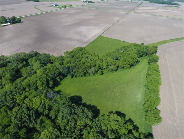
Black Hawk County, Iowa is located in Northeast Iowa. Black Hawk County covers 567 square miles with a total of 285,972 total farmland acres. 263,518 of those acres are used for cropland, 7,295 acres are woodlands, and 15,259 acres are used for other agricultural uses. The CSR (corn suitability rate) in Black Hawk County, Iowa is 72.2 weighted average, 81 cropland average, and 85 CSR2 cropland average.
Land Prices in Black Hawk County, Iowa Land Records
Land is in Black Hawk county is in the high range of $8,599 per farmland acre. This number is a fair jump from the average Northeast Iowa price of $7,313 per farmland acre. Whereas to rent land in Black Hawk County, Iowa the average price is $241 per farmland acre. Although, the rent price does range from $130 to $340 per farmland acre. With that, rent per CSR point is around $2.80 per CSR2.
Pasture land is also very valuable in Black Hawk County, Iowa. Improved pasture rent averages $90 per acre at regional average. While unimproved pasture comes to around $50 per acre regional average. Stank Grazing is also put into factor at $13 per acre at regional average.
Town in Black Hawk County, Iowa Land Records
According to Black Hawk County, Iowa Land Records there 11 towns within Black Hawk County. Those towns include Cedar Falls, Gilbertville, Laporte City, Dunkerton, Hudson, Raymond, Elk Run Heights, Janesville, Waterloo, Evansdale, and Jesup. Townships within the county include Barclay, Eagle, Orange, Bennington, East Waterloo, Poyner, Big Creek, Fox Spring Creek, Black Hawk, Lester, Union, Cedar, Lincoln, Washington, Cedar Falls, and Mount Veon.