
Benton County, Iowa Land Records
Benton County, Iowa Land Records
Facts on Benton County, Iowa Land Records
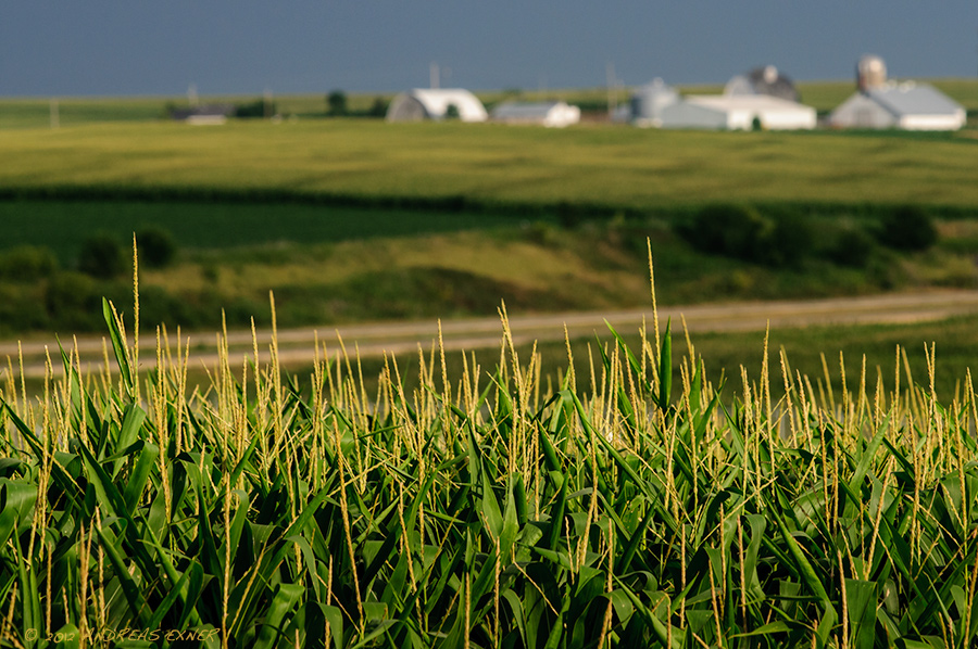
Benton County, Iowa is located in East Central Iowa covering 716 square miles. Accordingly so, the population is 26,076. The county was formed December 21, 1837 from sections of Dubuque County and is named after Thomas Hart Benton, a United States Senator from Missouri. According to Iowa Land Records, Benton County is part of the Cedar Rapids, Iowa Metropolitan Statistical Area. Adjacent Counties include Black Hawk County, Buchanan County, Linn County, Iowa County, and Tama County.
Land Prices in Benton County, Iowa Land Records
418,483 acres are used for farmland in Benton County, Iowa. 375,729 of those acres are cropland acres, 13,396 acres are woodland acres, and 29,358 acres are used for other agricultural purposes. The average farmland acre value is $7922 per acres. Average cost to rent farm land ranges from $135 per acre to $330 per acre. Average regional rent for improved pasture is $88 per acre, while unimproved pasture averages $46 per acre. You also can rent hunting ground in Benton County, Iowa fro around $16 per regional acre.
Towns in Benton County, Iowa Land Records
Townships within Benton County, Iowa include:
- Benton
- Eden
- Homer
- Monroe
- Big Grove
- Eldorado
- Polk
- Bruce
- Florence
- Jackson
- St. Clair
- Canton
- Fremont
- Kane
- Taylor
- Cedar
- Harrison
- Leroy
- Union